Sailing Lake Huron
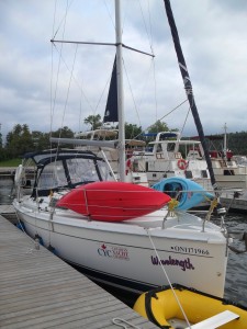 The 32-Foot Wavelength Preparing for Adventure
Just prior to the Great Boulder Flood, we left on vacation to do some sailing on Lake Huron, on the Canadian side, eh! Shelly did a lot of research and found that statistically, the North Channel of Huron is the place to find wind in the north this time of year. We also rented some kayaks to add to the fun.
On day 1 we sailed in good wind out of Gore Bay to Eagle Island and anchored in the north bay. The wind was out of the northwest and we were kind of exposed but it wasn’t terrible. At about 2:30 am that night I got up for some reason to check things out. We had originally anchored about 500 feet from shore in about 15 feet of water, which is fine for that area. Anchoring is supposed to be fantastic, the bottoms are generally clay or rock. Well, as I got up on deck in total blackness (it was overcast and there are no lights on shore), I noticed I could hear the leaves rattling in the trees on shore. That meant we were now about 20 feet from shore. For the second time we experienced the pleasures of anchor drag in the middle of the night. Previously it was in The Grenadines.
Shelly grabbed a flashlight. She had wisely noted their location when we checked out the boat. We were so close to the shoreline trees that we could illuminate them. The depth meter showed 3 feet. Given that we had a 4.5 foot keel draft, we were, in theory, on the ground. But we weren’t on the ground, probably because the depth meter was calibrated such that it read a shallower depth than was actually under the boat for safety reasons.

An Anchor
We got the engine started and Shelly pulled the anchor. BUT, since it was pitch black I had no reference to steer by. I tried using the chart plotter, which shows direction and speed, but it is a bit too crude for tight maneuvering and I didn’t want to motor into the shore. I was finally able to get the boat aimed away from shore and we reset the anchor once again. It held.
So what happened this time? We had a small-ish anchor and probably had it set in grass which was not solid enough for this anchor to grab. We originally dropped, set and watched the anchor as we always do and we didn’t drag. We couldn’t have done anything different except watch our position periodically (which we did for the rest of the trip). We didn’t have a problem after this incident.
The next day was short, had high wind. Not sure what the wind speed was because the Wavelength did not have an anemometer. We were doing 5 knots into the wind on reefed sails, which is fantastic speed. Got into Oak Bay and stayed there for a couple of nights. Never saw another boat in the bay.
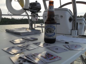
Despite the general belief that Canada is a dry country, we did find some beer… Creemore was the local brand.
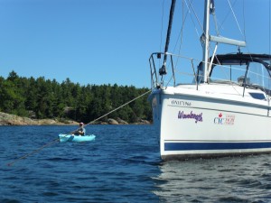
We tried out the kayaks in Oak Bay, Shelly is coming around the Wavelength in the pic above. There are no tides to speak of in the Great Lakes, but there is certainly a lot of current. We paddled upstream in a dead-end cove and were impressed by how much the wind drives the water. It took us about a half hour to get into the cove and about 10 minutes to get back to our boat.
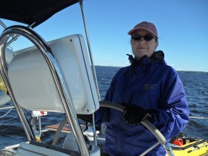
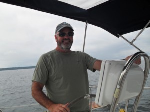
The weather was mild. It really didn’t get too hot on the lake but at times it was definitely chilly, especially in the wind. Shelly is piloting with her gloves above.
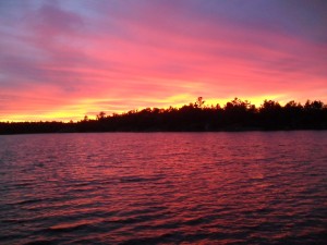
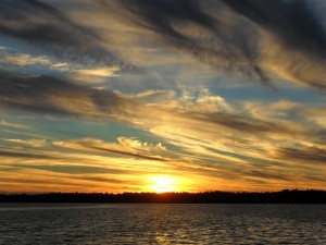
Almost every sunset was spectacular!
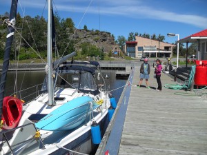
We only docked once during the nine day trip for supplies and a pump-out in a town called Spanish (above). The channel going into Spanish is way shallow, they had just dredged it and there were many spots our depth meter read 4 or 5 feet. Despite warnings not to go in, we did anyway after seeing masts in their marina, meaning other sailboats had successfully navigated the channel. It was no problem. The dock lady saw me coming in wearing my winter hat and yelled “you’re making it look chilly with that touk!” Ah, those crazy Canadians!
We checked out a few islands for hiking, never found a trail. In the photo above is in Oak Bay. After this we went to anchor off of Aird Island. We set an anchor, no problem, but as we swung on the anchor we heard knocks, the boat was hitting a deadhead in the water. Turns out it wasn’t a Grateful Dead fan in this instance, but an underwater log or tree. Lots of them in this area. We moved and reset the anchor, no problem.
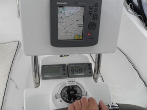
We had a couple of days of absolute calm and so had to motor many long hours to get to our next destination. Unfortunately we did not have an auto-helm, so someone had to steer the boat continuously. The above pic shows the instruments at the helm including the chart plotter. It’s basically a GPS navigator that uses nautical charts instead of land maps. Click on the photo to get a closeup. The two readouts below the chart plotter are the windspeed indicator (not working) and the depth meter showing 94.8 feet. Oh, and a compass.
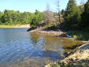
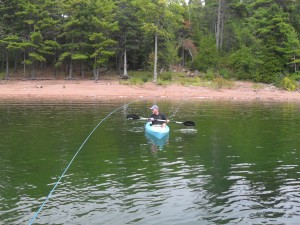 On day 7 we anchored at Coker Island. We also put in a stern tie, a line that anchors the back of the boat to shore. This keeps the boat from swinging all around an anchor and allows you to put many more boats in a small area, like parallel parking. In the above photo I am kayaking back from putting a line around a tree. I kept my pants on, I was a bit too modest to practice the ancient Canadian tradition of stern tying in your underwear.
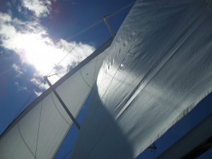
We only got a tiny bit of wind the next day, but we sailed on a reach for a while, above.
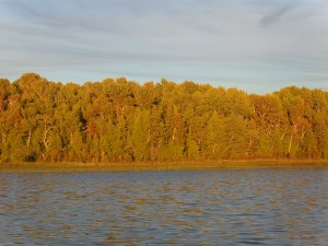
The last night we stayed on Clapperton Island with another great sunset illuminating the forested shoreline.
We experienced a lot of wind sailing back to Gore Bay the next day. All-in-all a good trip, very low key and uncrowded. We spent the rest of the trip touring the area. One cool thing was to take a ferry that cut off about 4 hours of driving.
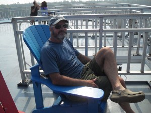
In the photo above, I am relaxing on the top deck of the ferry, taking in the view. In the background you can see two Canadian women tussle over the last piece of back bacon on the boat. Those crazy Canadians!
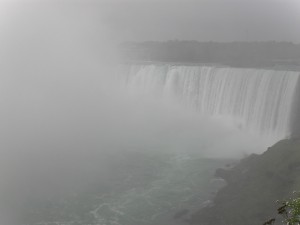
That’s Niagara Falls above, but Boulder Falls was probably about this big at the time of this photo.
And for the finale:
Posted in Sailing by Mark with comments disabled.
